Live Earth Map - World Map 3D
- 3.9
- Rating
- 10.00M
- Installs
- Free
- Price

 Analysis by App-foxy
Live Earth Map - World Map 3D is the kind of Maps & Navigation app I open when I want to look around rather than simply get from one address to another. It combines map exploration, satellite-style viewing, GPS context, and live camera access for famous places, so the experience feels closer to browsing a digital globe than using a conventional turn-by-turn navigator. That distinction matters: I found it more interesting for discovery, trip preparation, and visual orientation than for replacing a dedicated driving app.
Developed by TarrySoft, the free app is available to users aged Everyone and runs on Android devices using version 5.0 or later. Its current version is 3.0.0, and it has passed the ten-million-install mark with an average score of 4.0 from roughly eighty-seven thousand ratings. Those figures suggest that it has reached a broad audience, although they do not change the most important question: whether you want a visual world browser or a complete navigation assistant.
What I considered before relying on it
My first decision criterion was purpose. If I need precise directions, traffic-aware route planning, transit details, cycling guidance, or a dependable replacement for a car dashboard navigator, I start with a mainstream navigation service. Live Earth Map - World Map 3D serves a different need. It is better suited to seeing a destination from above, checking the general shape of an area, exploring recognizable landmarks, and using live cameras to get a sense of what is happening at selected famous places.
You May Also Like

 Blood Strike: 2.5 Anniversary
Blood Strike’s Loadouts Turn Every Drop Into a Tactical Gamble
A close look at Blood Strike’s custom loadouts: how fast access to signature weapons reshapes its battle royale rhythm, rewards preparation, and narrows the gap between fights.

 Pandora - Music & Podcasts
Pandora’s Music Is Easy to Start, but Harder to Recover
Pandora’s strength is its low-effort path from a seed to a station. Its weak spot is how much confidence it asks you to place in connection, setup, and quiet recovery.

 8 Ball Pool
 Is Built on Rivalries, Rematches, and Routine
A close look at the rivalries, rematches, shared routines, and unanswered safety questions that turn a quick pool match into a persistent mobile community.

 Samsung Music
’s Quiet Strength Is Playing What You Already Own
Its reach comes less from spectacle than from dependable access to a personal library. That simplicity is both the app’s strongest retention engine and its ceiling.

 AccuWeather: Weather Radar
AccuWeather Review: A Quick, Clear Forecast for Everyday Decisions
For everyday plans, the best forecast is the one you can understand quickly. AccuWeather makes rain timing, radar, and local conditions easy to act on, with a few trade-offs.

 Hill Climb Racing
Why Hill Climb Racing Still Turns Crashes Into One More Run
A tiny car, a bumpy hill and one more upgrade: Hill Climb Racing keeps resurfacing because its simple chaos makes every near-miss feel personal.
More From Our News Desk



The second criterion is how much visual context I want. A standard map is excellent for streets, addresses, and route choices, but it can feel abstract when I am deciding whether a destination looks central, coastal, mountainous, or close to a major landmark. The satellite view gives the surroundings more character. I can inspect the relationship between buildings, roads, green areas, shorelines, and larger geographic features before I make a plan.
The third criterion is patience. This is not an app I would open while rushing to an appointment and expect to learn instantly. Its appeal comes from moving between views and places. I need a moment to explore, zoom, and understand what I am looking at. That makes it enjoyable for browsing, but less efficient than a focused route app when every tap needs to produce a direct answer.
I also paid attention to cost. The app is free to install, but in-app purchases range from $0.99 to $99.99 per item. That creates an important practical distinction between trying the basic experience and committing to optional paid material or functions. I would begin without spending anything, learn which parts I actually use, and only then decide whether an upgrade is worthwhile.
How the main views work together
The strongest part of the experience is the combination of perspectives. GPS gives the app a sense of where I am, while satellite viewing helps me understand the physical layout of a place. The live-camera element adds a different kind of context: instead of only seeing a static map, I can look toward selected well-known locations through available camera feeds.
I found it useful to switch views according to the question I was asking. When I wanted geographic orientation, the broader map was easier to read. When I wanted to understand the surroundings of a location, satellite imagery was more informative. When I was curious about the atmosphere around a famous place, the live-camera option was the most engaging. Treating these as separate tools, rather than expecting one view to do everything, made the app feel more coherent.
One non-obvious advantage is that visual exploration can expose planning mistakes before they become inconvenient. A place that looks close on a simple map may be separated by a river, a large park, a steep area, or a complicated road layout. Looking from above does not replace local directions, but it can help me notice that the entrance, parking area, waterfront, or landmark I care about may not be on the side I initially assumed.
Another useful habit is to use the app before searching for detailed directions elsewhere. I can first identify the general area and recognize nearby visual features, then move to a conventional navigation app for exact routing. This two-step workflow is more effective than asking a route planner to explain the character of a destination, because route apps are usually optimized for movement rather than curiosity.
A realistic everyday use case
Imagine I am planning a weekend visit to a city I have never seen. I know the name of a famous square but not how it relates to the river, old streets, parks, or surrounding neighborhoods. I can use Live Earth Map - World Map 3D to inspect the wider area, switch to satellite imagery, and look for the physical landmarks that will help me recognize the location. If a live camera is available for that place, I can also get a more immediate impression of the setting.
After that, I would use a dedicated navigation service to calculate the journey from my hotel and check practical details such as the best route or travel mode. This division of labor is the approach I recommend. The map app handles visual discovery; the specialist navigation tool handles the final logistics. Used together, they answer more questions than either one alone.
The same workflow can help when visiting a large attraction. Before leaving, I can inspect the surrounding roads and open spaces to understand the broad layout. I would not treat the satellite image as a precise walking guide, but it can make the first arrival less confusing. Recognizing the shape of a nearby lake, stadium, coastline, or park is often easier than remembering a street name.
Where this app wins, and where another category fits better
I’d use this section to separate the app’s lasting value from the fun of a first look: its strongest recurring role is helping me picture places before I go, rather than guiding every trip. I’d also weigh that habit against the ease of opening a familiar route planner, since the better choice depends on whether I’m exploring a destination or simply trying to get there.
The best reasons to choose it
For me, the main strength is curiosity with a practical edge. I can browse famous destinations, compare the appearance of different areas, and use the visual layers to build a mental picture before a trip. That makes it more inviting than a plain list of locations and more informative than a static travel image.
The live-camera feature is also a meaningful differentiator. A map can tell me where a place is, and satellite imagery can show its layout, but a camera feed may provide a more immediate connection to the location. I would not assume that every place has an equally useful feed or that a camera replaces local information. Still, when one is available and functioning well, it gives the app a sense of presence that ordinary map browsing lacks.
I also like that the app can serve people who are not planning a trip at all. It works as a casual exploration tool for learning how places relate to one another geographically. I can jump from a landmark to a wider region and then back to a closer view, which encourages the kind of unstructured discovery that a route-focused app rarely supports.
It may be especially appealing to families, students, travelers, and anyone who learns better through images than through written descriptions. The Everyone age rating makes it approachable for a broad audience. I would still guide younger users through the interface, because map exploration can quickly become confusing when zoom levels and viewpoints change, but the concept itself is easy to understand.
A further strength is the way it supports pre-trip questions that are easy to overlook. Is the destination near water? Does the surrounding area appear dense or open? Is the landmark isolated, or is it embedded in a larger urban district? These are not substitutes for accessibility information, opening times, or official visitor guidance, but they help me form better questions before I continue researching.
Where conventional navigation apps remain stronger
I would not choose this as my only navigation tool for daily commuting. A dedicated route app is usually the better choice when I need a fast answer about how to get somewhere, especially if I am driving, walking through unfamiliar streets, or comparing transport options. The visual exploration that makes Live Earth Map interesting can become unnecessary friction when the destination and route are already clear.
It is also not the right fit for users who want a complete travel-planning system in one place. If my priority is combining directions with local business details, saved places, reviews, transport departures, or highly specific route preferences, I would look to a more specialized alternative. I would not install this expecting it to replace every map-related service on my phone.
Satellite imagery has its own limitation: it is excellent for broad form, but not always for current, ground-level reality. Construction, temporary closures, new entrances, seasonal conditions, and pedestrian restrictions may not be obvious from an overhead image. I treat the view as orientation, not as a guarantee that every visible path or structure is usable today.
The live-camera side can also be less predictable than the map itself. A camera feed can be more compelling than a static image, but its usefulness depends on the location, the view, and whether the scene is clear when I check it. I see this as an occasional bonus rather than a reason to expect live coverage everywhere.
There is a trade-off between breadth and precision here. The app encourages me to explore the world visually, but that broad approach means I may need another service for the final details. Users who dislike switching between apps may find that frustrating. Users who are comfortable with a discovery tool and a separate routing tool will probably appreciate the division.
What switching from a usual map app involves
The cost of switching is low if I add this app to my existing toolkit instead of trying to make it the only one. I do not need to abandon a familiar navigation service. I can use this app for the first stage of research, then return to the tool I already trust for directions. That makes experimentation fairly painless, particularly because the download itself is free.
The bigger adjustment is mental. I have to stop judging it by the standards of a turn-by-turn navigator. Its value is not that it gives me the quickest possible route; its value is that it helps me see a destination as a place. Once I understand that, the interface feels less like a missing feature list and more like a different category of map experience.
I would also watch spending carefully. Since optional purchases can range from less than a dollar to nearly one hundred dollars per item, I would not buy anything simply because I enjoy the visual browsing. I would first identify a specific benefit I expect to use repeatedly. Anyone sharing a device with children should be equally deliberate about purchase controls, even though the app is free to start.
Storage, battery use, and data consumption are practical considerations whenever an app displays maps, imagery, or camera content, but I would handle those concerns through normal phone settings and sensible habits. I would avoid depending on an exploratory map during a trip where connectivity is uncertain, and I would prepare essential directions separately before leaving.
Who should install it
I recommend giving it a try if you enjoy looking at destinations before visiting them, want a satellite perspective, or like the idea of checking live views of famous places. It is also a good companion for people who often say, “I know the name, but I cannot picture where it is.” The app turns that vague feeling into something more concrete by connecting location, geography, and visual reference.
It may suit teachers, parents, and curious learners who want a more engaging way to discuss world landmarks. It can also help travelers decide which areas deserve closer research. The important point is to use it as a starting surface for understanding, not as the final authority for every travel decision.
I would skip it if I only want reliable turn-by-turn guidance, detailed local search, or a single app that manages every stage of a journey. In those cases, a conventional navigation product is likely to feel faster and more complete. I would also skip paid extras unless the free experience has already shown me a clear, repeated reason to spend.
For older Android devices, the minimum operating-system requirement is Android 5.0, which keeps the entry barrier relatively broad. Still, the experience will depend on the phone, connection, and the particular map or camera view being used. I would test it at home before relying on it during travel, especially if the device is older or has limited resources.
My recommendation
After using it as a visual exploration tool, I see Live Earth Map - World Map 3D as a worthwhile companion rather than a universal replacement for navigation apps. Its best moments come when I want to understand a place spatially, inspect its surroundings from above, or add a live-camera glimpse to the research process. Those are specific strengths, and they are enough to make it useful for the right person.
My practical recommendation is simple: install the free version, explore several destinations you genuinely care about, and judge it by how much clearer those places become. Try the satellite view before a trip, compare it with the map view, and use any available camera feed as an extra perspective rather than a promise of complete coverage. Then use your usual navigation service for exact routes and current travel details.
The app’s 4.0 average from about eighty-seven thousand ratings gives it a solid, though not flawless, public reception. I think that balance makes sense. It is enjoyable and distinctive, but its usefulness depends heavily on whether you want exploration instead of pure efficiency. Choose it for seeing the world more clearly, not for replacing every navigation tool on your phone.
In the end, I would recommend it to curious travelers, visual learners, and anyone who likes preparing for a destination by looking at it from several angles. I would not recommend paying for extras immediately, nor would I rely on it alone for a time-sensitive journey. Used with those limits in mind, TarrySoft’s app offers a friendly way to turn a place name into a real geographic picture.
FAQs for Live Earth Map - World Map 3D
01What features does Live Earth Map - World Map 3D offer?
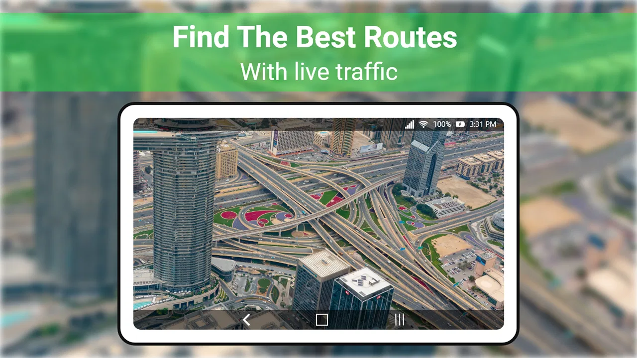
Live Earth Map - World Map 3D provides high-resolution satellite imagery and interactive 3D maps. Users can explore various locations around the globe, view live traffic updates, and access detailed street views. The app also offers real-time weather updates and the ability to mark and save favorite locations for quick navigation.
02Is Live Earth Map - World Map 3D free to use?
The app offers both free and premium versions. The free version includes basic features such as map browsing and street views. However, to access advanced features like ad-free browsing, offline maps, and premium 3D views, users need to subscribe to the premium version, which requires a monthly or annual fee.
03How accurate is the location data in Live Earth Map - World Map 3D?
Live Earth Map - World Map 3D uses data from reliable satellite sources to provide accurate and up-to-date maps. While generally precise, users might occasionally encounter discrepancies due to rapidly changing environments or areas with limited data coverage. Regular updates aim to improve accuracy over time.
04Can I use Live Earth Map - World Map 3D offline?
Yes, the app allows users to download maps for offline use, a feature available in the premium version. This is especially useful for travelers in areas with limited internet access or when data usage is a concern. Offline maps ensure you can still navigate and explore locations without an internet connection.
05Is Live Earth Map - World Map 3D available for both Android and iOS devices?
Yes, Live Earth Map - World Map 3D is available on both Android and iOS platforms. Users can download it from the Google Play Store or Apple App Store. The app is optimized for a wide range of devices, ensuring smooth performance and user experience across different operating systems.
Pros
- Highly detailed 3D maps enhance navigation.
- Real-time traffic updates improve trip planning.
- Offline mode available for remote areas.
- User-friendly interface with intuitive controls.
- Frequent updates with new features and maps.
Cons
- Can consume significant data when online.
- Battery drain is noticeable on long usage.
- Some features require premium subscription.
- Occasional lag in high-density areas.
- Limited customization for map views.

Live Earth Map - World Map 3D
Gallery